
Bryant Neighbors by Record
No official source supplies a complete list of people around a Bryant address. The defensible method combines public parcel geometry with owner records, recorded plats, city files, and only those community contacts an organization chooses to publish. Each source has a narrow role. The parcel map defines adjacency. The assessor names an assessment owner. A plat describes a subdivision. A permit or notice reports an applicant or affected parcel, not every person on the block.
| Block source | What it can show nearby | Access route |
|---|---|---|
| Saline EDGE parcels | Touching lots, situs labels, parcel geometry, and imagery | Public GIS and map services |
| Assessor cards | Assessment owners, mailing addresses, legal descriptions, and values | DataScout or assessor |
| Recorded plats and covenants | Subdivision bounds, lot order, dedications, and possible association name | Saline Circuit Clerk counter |
| Bryant maps and notices | Ward, zoning, city-limit, permit, and rezoning context | City document center or focused request |
| Voter evidence | Limited registration facts, never a complete block roster | VoterView for an individual or lawful custodian request |
| HOA or civic contact | Only the contact or roster the group itself publishes | No official citywide inventory was found |
An owner can use another mailing address, hold land through an entity, or have no public household tie to the lot. Renters and family members may not appear in property files. Bryant neighbors should therefore be described as owners, registered individuals, permit applicants, or published group contacts only when the source supports that exact role.
Map Bryant Neighbors Parcel by Parcel
The Saline County EDGE and ArcGIS services provide the strongest starting shape for a block. Search one Bryant address, zoom until parcel lines can be read, and click every parcel that touches it. Add parcels directly across the road. At a corner, repeat on both streets. This method is clear enough for someone else to reproduce without pretending that an arbitrary circle defines a community.
- Normalize the street number, direction, and suffix, then locate the situs in the parcel map.
- Save the target parcel number and inspect each touching parcel, each lot across the road, and both sides of a corner.
- Open the matching assessment card and record only the owner, mailing, situs, and legal-description facts needed.
- Check the recorded plat for lot order, common land, dedications, and a possible association name.
- Use ward, zoning, and city-limit maps as separate layers. Do not substitute a ZIP or school boundary.
Tax polygons are cartographic aids, not legal surveys or fence lines. If the interface offers measure, select, or print tools, save the map extent used. For a whole named road rather than the immediate block, the Bryant street directory carries the longer by-address workflow.
Bryant Parcel Numbers Need Context
DataScout's inspected county snapshot reported 85,224 parcels and 98.84 percent mapped. Those figures show why a parcel-first method works well, but they do not turn the map into a people directory. The assessment roll can display owner or taxpayer name, parcel number, situs and mailing addresses, legal description, acreage, values, map links, sale references, and building facts. Exemption data may support an owner-occupancy inference. It still cannot identify everyone who lives there.
- Parcel
- A mapped tax unit with an identifier. One home may involve more than one parcel.
- Situs address
- The physical location assigned to the property.
- Mailing address
- The destination for the tax notice, which may differ from the property.
- Recorded plat
- A filed map that defines subdivision lots, roads, easements, or common areas.
Corner lots, vacant tracts, multi-parcel sites, and association-owned common areas need special care. Record the parcel ID before any owner name. That simple choice prevents two adjacent tracts with similar street labels from being merged.
VoterView Cannot List Bryant Neighbors
Arkansas VoterView asks for first name, last name, and date of birth. It is an identity-gated tool for a person to confirm registration and polling information. It cannot browse a Bryant street or reveal a block roster. That is a common and costly misconception. Property ownership alone also does not establish a voting residence.
A voter file obtained through the proper election custodian, if law and approved use permit it, would still omit minors, people who are not registered, and protected entries. Confidential identifiers and date-of-birth details are withheld. Arkansas Address Confidentiality Program participants and other records made confidential by law must remain suppressed. Never try to rebuild a protected address by joining other sources.
Note: Historical poll books and census dwelling order may show past block context, but they do not prove a present household.
Bryant Neighborhood Contacts by Source
Bryant's official site did not expose a complete neighborhood-association directory. That gap must remain visible. A subdivision's recorded plat or covenants may name an association, and the association's own published page may supply a board or general contact. Do not guess member names or turn a tax roll into an HOA roster. For a block with no verified association, use a civic office, library, archive, or public group contact that fits the actual question.
| Contact route | Useful Bryant question | Directory boundary |
|---|---|---|
| Bryant city departments | Ward, zoning, planning, annexation, permit, or public-notice file | No private household roster |
| Saline Circuit Clerk, 501-303-5615 | Recorded subdivision plat, covenants, or filed association name | Recorded instruments only |
| Mabel Boswell Library, 501-847-2166 | Local news, obituary, history, or older directory inquiry | No current private membership list |
| SCHHS, 501-778-3770 | Historic households, census dwelling order, photographs, and publications | Research center, not a current neighbor roll |
| Bryant Historical Society/Museum | Published civic history or confirmed preservation holdings | Confirm hours and holdings first |
Churches, veterans groups, clubs, and congregations may hold rosters privately. Use only a donated archive, commemorative book, or contact the organization has made public. Current school staff pages are professional contacts; student data is protected.
Bryant Growth Reshapes Neighbor Blocks
Bryant's rapid development creates a local records quirk. The Bryant School District extends beyond city limits, while postal, parcel, ward, zoning, and school maps serve different purposes. City planning material also describes established neighborhoods, early-stage developments, and future growth beyond present limits. A nearby house may therefore share a Bryant postal or school identity without sharing the same municipal record set.
Use USPS only for delivery labels, county GIS for parcels, and city maps for jurisdiction. A recorded subdivision plat remains more stable than a ZIP label. When annexation brings a block into the city, Bryant permit, ward, and zoning records may begin at that point even though Saline County deeds and tax records run earlier.
Bryant Neighbors and Business Clues
A parcel owned by an entity needs an extra check. The Arkansas Secretary of State Business and Commercial Services offers entity, UCC, and notary routes.
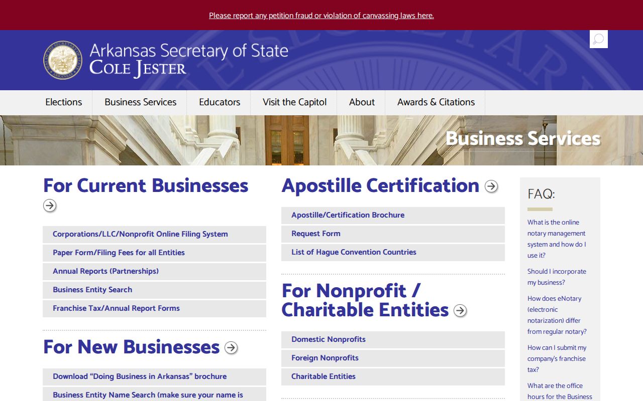
A registered agent, officer, or principal-office address is a formal filing fact. It may not be a home. Match the entity to the assessment owner and recorded deed, then label the role correctly. Bryant business licenses, signs, permits, or planning cases may add an operating address, but an applicant is not proof of household occupancy.
For civic context, open permits and rezoning notices can show what may change near a block. Ask for an existing address register or case file when the city portal does not expose the detail. Keep project and parcel facts apart from personal claims.
Bryant Block Safety Records
Special-purpose public-safety systems are not general neighbor lists. The Arkansas offender search publishes statutory registry information with its own scope and cautions.
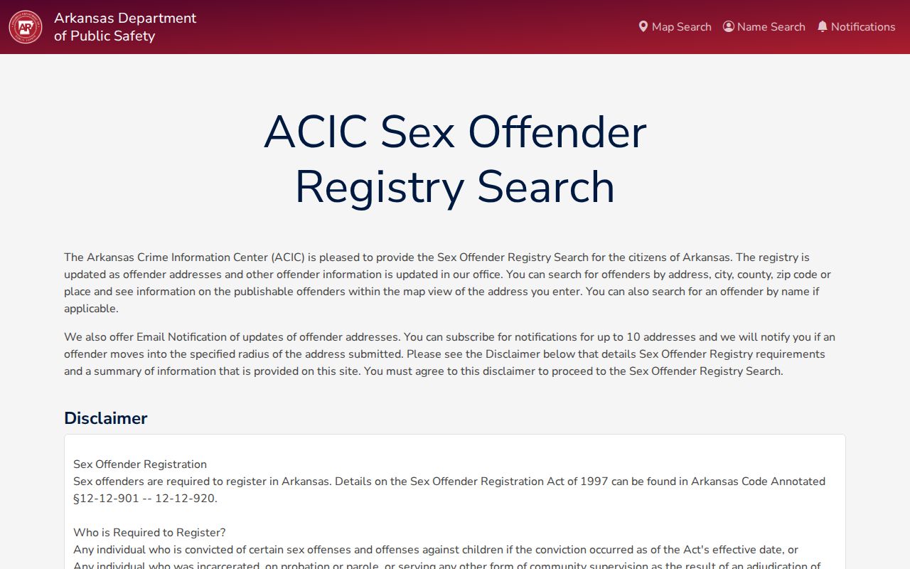
A registry address is evidence only within the system's stated date and status. A non-match is not a general safety guarantee, and the information must not be used to threaten or harass anyone. Corrections, court, and registry data also describe different legal stages and should never be blended into one label.
If a Bryant resident faces identity theft, the official federal IdentityTheft.gov recovery route provides a focused reporting plan.
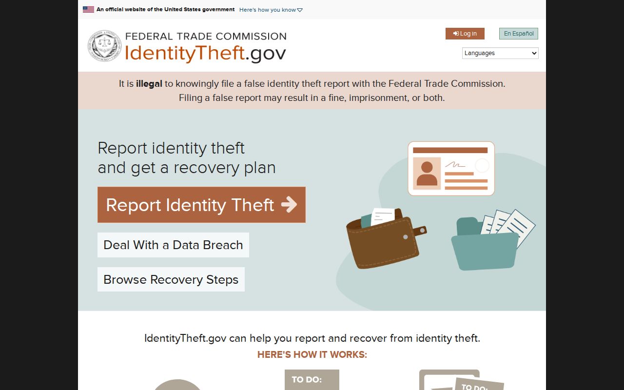
That tool addresses the victim's own case. It does not identify people on a block. For a suspected scam or fraud report, use published government channels and keep the report tied to observed conduct.
Bryant Neighbor Tools Compared
Official rolls and commercial neighbor tools are built for different purposes. Commercial compilations may merge old addresses, relatives, purchases, and public records, then present the result as if it described one current household. An official record is narrower but easier to verify with its custodian. Neither category creates a complete Bryant neighbors directory.
| Source type | Strength | Limit |
|---|---|---|
| Parcel GIS and assessor | Current mapped parcel and assessment owner | Does not list every occupant |
| Recorder and city custodian | Filed deed, plat, covenant, permit, or notice | Requires a defined record request |
| Published civic contact | Group-approved point of contact | Not proof of membership or residence |
| Commercial compilation | May suggest a lead across many sources | Can be stale, merged, or hard to audit |
The official FTC fraud reporting portal is a better path when a service or caller uses block information to deceive someone.
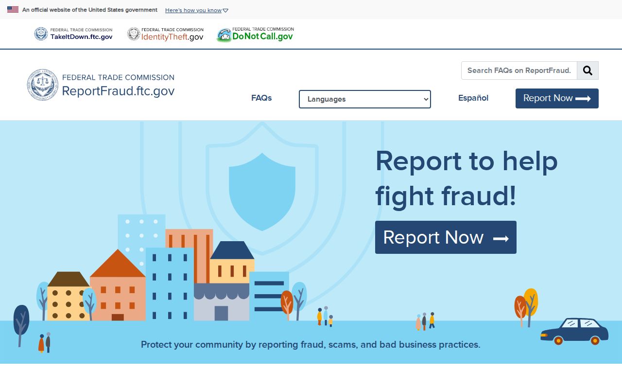
Fraud reports should describe the message, payment request, account, and evidence. They should not speculate about unrelated people who live nearby.
Privacy Bounds for Bryant Neighbors
Property files do not list renters or every family member. Utility customer records, library-user data, motor-vehicle addresses, sealed court files, and protected voter addresses are not normal public block sources. Arkansas does not offer a broad right to erase truthful open deeds or assessment ownership, but corrections belong with the source custodian. Suppression must be respected, not bypassed through another database.
Use the least personal detail needed for a sound purpose. A parcel number and association contact may answer a common-area question without publishing a person's mailing address. A permit case number may answer a construction question without drawing claims about the applicant's family. Small choices like these keep Bryant neighbors research accurate and fair.
Lawful use. Use block records for civic questions, reconnecting, property curiosity, or personal safety. Never use them to watch, harass, intimidate, threaten, or harm another person.