
Bryant ZIP Coverage Directory
ZIP 72022 is the primary general-delivery ZIP for Bryant. Its postal territory can extend beyond the legal city line, so it should describe mail service rather than municipal status. The Bryant ZIP code directory cannot assign unsourced neighborhoods to smaller postal zones because the research found no crawlable official USPS city result or verified per-ZIP population table. Nearby Alexander 72002, Benton 72015 and 72019, and Bauxite 72011 are separate postal clues. They must not be relabeled as Bryant ZIPs because an address lies in the Bryant School District or planning area.
| Postal code | Supported service area | Post office identity | Research status |
|---|---|---|---|
| 72022 | Bryant delivery addresses and surrounding postal territory | Bryant Post Office | Primary Bryant ZIP; postal boundary may cross city limits |
| 72089 | Official USPS classification was not captured | Bryant | Often listed elsewhere as a PO-box ZIP; verify before use |
That short table is deliberate. It records what the source set supports and preserves the gap rather than inventing coverage. A full street address remains the useful search key for a parcel, while the postal code supplies only the first geographic sort.
Verify Bryant ZIP Codes
Use the USPS city and state lookup to test a Bryant postal claim. A city-and-state query can identify postal codes linked to a place name, while the full-address mode is stronger for one resident search. Keep the street spelling, directional, unit, city, state, and returned code together. A USPS match confirms how mail is addressed; it does not confirm the parcel's owner, occupant, ward, school district, or city jurisdiction.
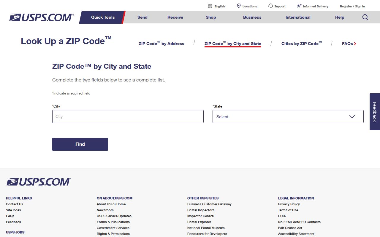
The blank official form is the right place to verify a live address. No private resident data is needed to show the search surface, and no uncaptured result is represented as fact.
Note: USPS validates delivery geography, while Saline County GIS and Bryant maps answer parcel and city questions.
Bryant ZIP 72089 Remains Unverified
Postal and commercial datasets often associate 72089 with Bryant PO boxes. The research did not capture an accessible USPS result page confirming its current classification. Therefore, 72089 cannot be stated as a verified PO-box-only code, a general-delivery area, or a boundary with mapped neighborhoods. The Bryant ZIP code directory keeps the code visible precisely because users may encounter it, but every proposed address or box must be checked with USPS before it is published or tied to a person.
This negative finding prevents a common directory error. A PO box is a mail destination and a useful contact-history clue. It is not a map point for occupancy. Even if USPS confirms the classification later, a box holder's parcel and city status still require other sources. The same rule applies to any ZIP that appears in a tax-mailing field: the code tells where the notice goes, not where the land lies.
Verification gap. Treat 72089 as unresolved until an official USPS result establishes its current Bryant classification.
Bryant ZIPs and City Limits
ZIP lines and Bryant city limits answer different questions. Postal city names route mail. A legal city boundary controls municipal matters, while county parcels persist across annexation. School, fire, ward, and voting geographies have their own lines. Bryant planning and budget materials note established and emerging neighborhoods within the Bryant School District but outside city limits. That local fact explains why a Bryant school or mailing identity may not place a home inside the municipality.
Use Bryant ward, zoning, planning-area, and city-limit maps for city jurisdiction. Use Saline County parcel GIS for the tract. Use election records for a precinct and district. The mismatch is not a database error. It reflects several systems laid over fast-growing land in the Little Rock metropolitan corridor. The postal label alone cannot choose the right records custodian.
Growth Reshapes Bryant ZIP Searches
Census QuickFacts reports 20,663 Bryant residents in 2020 and an estimated 22,815 in 2025, a 10.4 percent rise from the 2020 estimates base. That growth helps explain why current plats, subdivisions, permits, annexation papers, and parcel records matter more than assumptions tied to a postal label. A new neighborhood can join Bryant city files through annexation while its Saline County deed chain predates that city status and its mailing identity remains stable.
Bryant School District geography adds another layer. Saline's researched millage rows distinguish Bryant city and Bryant SD Rural, along with district rows tied to Benton, Bauxite, Shannon Hills, and Alexander. Those labels provide numeric proof that “Bryant” can name a school geography rather than the municipality or one ZIP. The Bryant ZIP code directory should therefore narrow a search, not serve as the final boundary map.
Find Bryant Residents by ZIP
The available Bryant sources do not support a verified ZIP-wide resident list. The Saline tax search exposes Address and School District fields, but the accessible form did not show a confirmed ZIP filter. VoterView requires an individual's first name, last name, and date of birth, so it cannot enumerate a postal zone. No current Saline or state voter-file order form, field list, fee, or delivery format was found. Lead with those limits, then use the address-first fallback.
- Verify the full mailing address through USPS. Keep the returned postal city and ZIP as delivery facts only.
- Search that street address in the Saline County assessment or tax roll. Capture the parcel number, situs address, mailing address, owner, and legal description.
- Open the parcel in county GIS. Check the current interface for city, school, precinct, or postal layers, but do not claim a ZIP layer unless it is actually present.
- Compare the tract with Bryant's city-limit, ward, zoning, and planning maps. Determine each district separately.
- For a broader existing roll, ask its custodian whether a ZIP-coded export already exists and what fields, restrictions, and fees apply.
Once a postal zone narrows to known roads, the Bryant street directory supplies the address and parcel workflow. That shift respects the actual search fields instead of pretending a ZIP filter exists.
Bryant ZIP and Election Geography
The Arkansas State Board of Election Commissioners election hub links official voter and election tools.
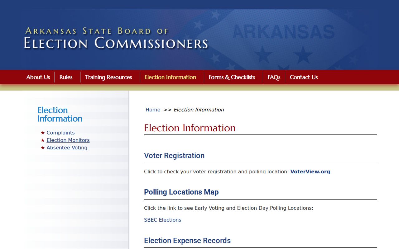
The image reinforces the separate election layer. VoterView may confirm one person's county, polling location, precinct, and election districts after the identity gate, but it does not offer a Bryant ZIP roster or reveal ballot choices.
A lawfully obtained voter file may be sortable by residence or precinct if the custodian approves the request and use. It still covers registered voters only, omits minors and nonvoters, and suppresses protected people. Never convert it into a complete household directory. Historical poll books are better requested by county, township or precinct, and election year from the Saline County Clerk, State Archives, or Saline County History and Heritage Society.
Replace Bryant ZIPs With Land Keys
Once a Bryant address resolves to land, the parcel identifier and legal description become stronger keys than the ZIP. A legal description identifies the tract through a subdivision lot and block or an older land description. It survives many changes to street text, mailing city, or postal code. Recorded deeds should be requested from the Saline County Circuit Clerk and ex officio recorder using party names, dates, or book and page clues tied back to that land.
The assessed owner, mapped location, and tax-mailing address must remain separate. An owner can receive a tax notice at a PO box, another home, or a business. That does not relocate the parcel. Bryant planning manages subdivisions, permits, zoning, and annexation files; county assessment and GIS establish the parcel context; USPS validates mail. Each source has a narrow role in the ZIP code directory workflow.
Annexation Changes Bryant Records
Bryant's 2025 and 2026 planning material describes a proactive annexation strategy begun in 2024 for established neighborhoods, early developments, and land likely to develop beyond current limits. Annexation papers can name owners and include legal descriptions, plats, effective dates, ward assignments, and zoning. They explain when a parcel starts to appear in Bryant city records, yet they do not rewrite its earlier county deed history or automatically change its postal code.
Nearby place names demand the same care. An Alexander, Benton, or Bauxite postal address may connect with Bryant schools or planning concerns without becoming a Bryant ZIP. Conversely, 72022 may serve territory beyond the city line. Check the date of each city map or ordinance because boundary status can change, then preserve the postal and municipal findings as separate dated facts.
Note: No Bryant-wide historic street-renumbering year was found, so search spelling, directional, and road-name variants one address at a time.
Define Bryant ZIP Search Terms
Postal terms often look like parcel terms, but they are not interchangeable. Use them to refine delivery evidence and to ask USPS the right question. Do not use them as proof that a resident occupies a mapped home.
- ZIP and ZIP+4
- A ZIP sorts a broad delivery area. ZIP+4 narrows delivery to a segment, building, box group, or other route detail.
- PO-box ZIP
- A code assigned mainly or only to post-office boxes. Bryant's 72089 status still needs official confirmation.
- Unique ZIP
- A code assigned to one high-volume organization. No unique Bryant code was established in the research.
- Carrier route
- A delivery path used by postal staff. It can cross boundaries that matter to city or county records.
- Situs address
- The parcel's mapped or tax location, distinct from the address where its tax notice is mailed.
The safe Bryant flow is compact: postal address to USPS, street address to assessor, parcel to GIS, legal description to deeds, and city maps to jurisdiction. It keeps the ZIP code directory useful without making a postal code answer questions it was never built to settle.